GIS + Maps
Buy Maps and Guidebooks
![A map of the appalachian trail and other trails]()
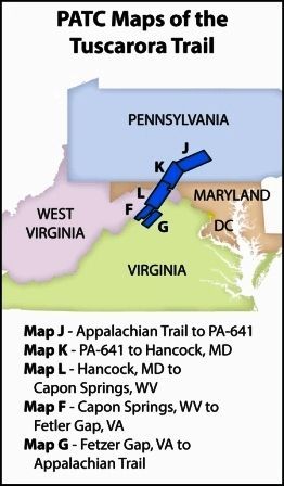
![A map showing the patc maps of the tuscarora trail]()
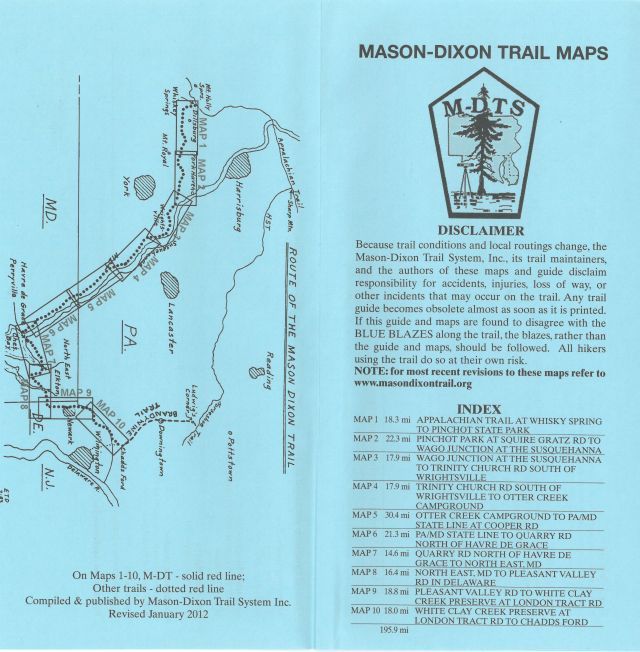
![A mason-dixon trail map is shown on a blue background]()
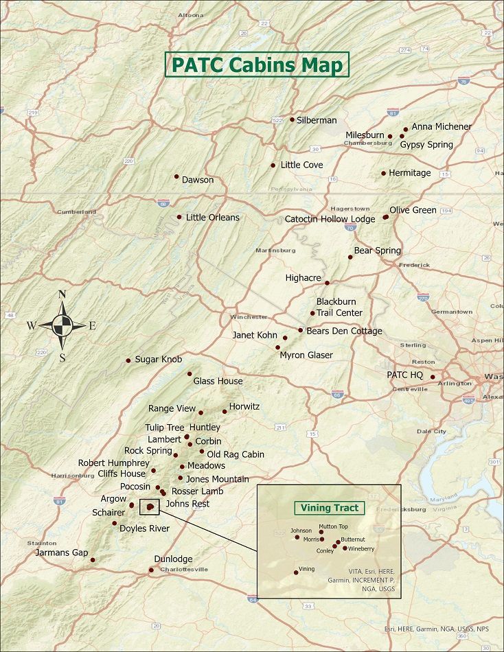
![A map of patc cabins in the united states]()
The GIS (Geographic Information System) Committee is responsible for making all PATC maps of hiking trails in DC, MD, PA, VA, and WV. The committee works very closely with the GPS Rangers who survey the trails using Global Positioning System receivers to collect the data used to create the maps. Then this internal data is combined with information from external sources, such as the USGS and VDOT. The GIS volunteers process this data to update our maps with a more accurate representation of our trails and other features using ArcGIS software. Committee volunteers include data editors, graphic designers for map lay out and website landing pages, photographers who provide professional quality photos, and others supporting this Club mission.