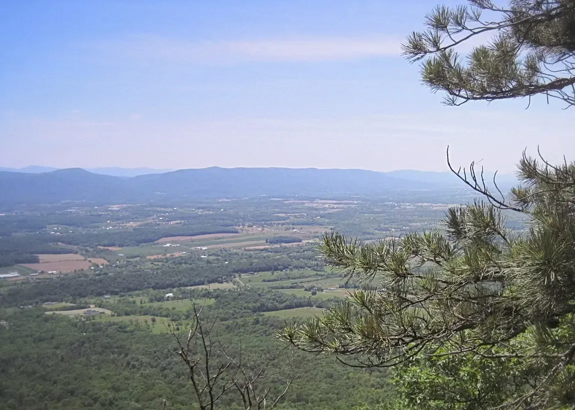
Section 17: County Line
Dry Gap to Waites Run Road, 11.2 miles.
PATC Map F , Guide to the South Half of the Tuscarora Trail
Max Elevation: 2810 ft. Min Elevation: 1510 ft.
Highlights:
Access: The Trail can be accessed from both the southern and northern termini of section 17:
Capon Springs Grade (39.109,-78.478).
Waites Run Road (39.016, -78.605).
Additional road access:
US Route 48 (39.085, -78.511).
Additional trail access in the George Washington National Forest includes: Hawk Camp Access Trail, Gerhard Shelter Trail.
Advisory: Exercise caution in the George Washington National Forest during hunting season. Limited Water along Ridge. Section Updates
Camping: Hawk Campground (39.117,-78.499), Gerhard Shelter (39.0657, -78.533). Primitive camping is permitted off trail in the George Washington National Forest.
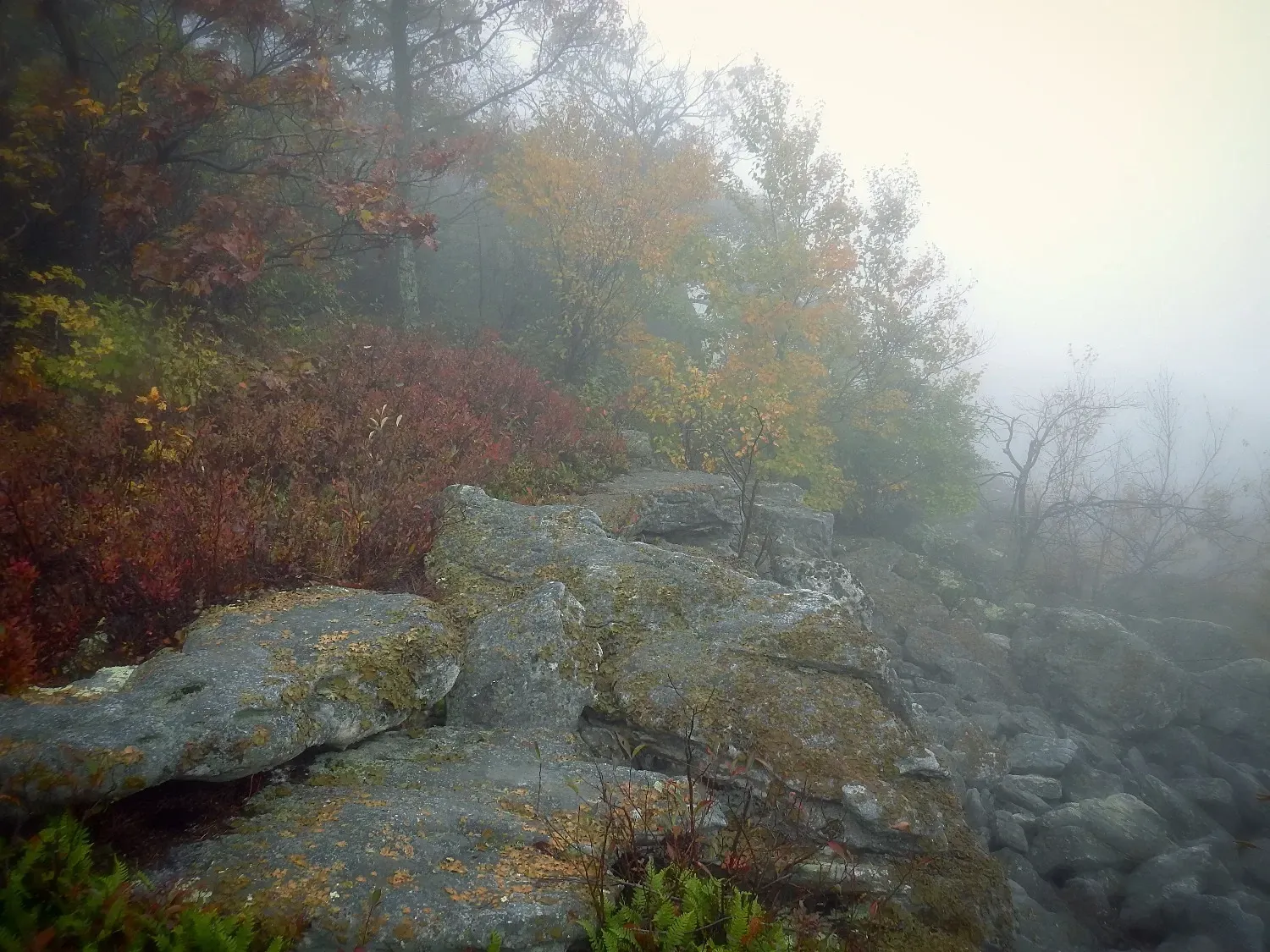
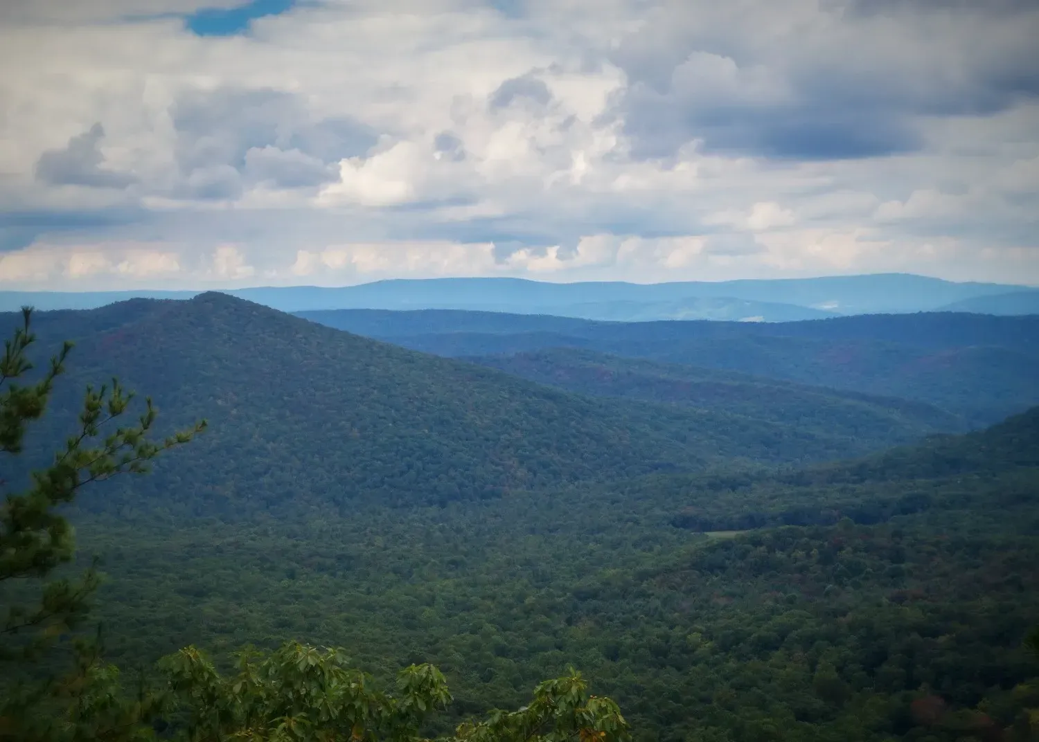
Section 18: Sugar Knob
Waites Run Road to Fetzer Gap, 15.7 miles
PATC Map F, Guide to the South Half of the Tuscarora Trail
Max Elevation: 3130 ft. Min Elevation: 1510 ft.
Highlights: Trout Run overlook, White Rocks overlook. Great Eastern Trail joins/leaves the TT from/on Mill Mountain Trail.
Access: The Trail can be accessed from both the southern and northern termini of section 18:
Waites Run Road (39.016, -78.605).
Zepp Road, limited shoulder parking (38.971, -78.506).
Additional Road Access:
Van Buren Road, Rt 713 (38.970, -78.565), 0.3 mi SB on Cedar Creek Trail to Tuscarora Trail junction.
Additional trail access in the George Washington National Forest: Halfmoon Trail, Mill Mountain Trail, Little Stony Creek Trail, Little Sluice Mountain Trail, Racer Camp Trail, Old Mailpath Trail, Sulphur Springs Gap Trail, Cedar Creek Trail.
Advisory: Exercise caution in the George Washington National Forest during hunting season. Section Updates
Camping: PATC Sugar Knob Cabin (by reservation only). Primitive camping is permitted off trail in the George Washington National Forest.
Links: PATC cabin rentals, George Washington National Forest
Section 19: Fetzer Gap
Fetzer Gap to Maurertown, VA, 6.1 miles.
TRAIL CLOSURE ALERT!!
A trail closure in Section 20 has necessitated a detour in Section 19, please consult the updates page for current route.
PATC Map G, Guide to the South Half of the Tuscarora Trail
Max Elevation: 1880 ft. Min Elevation: 755 ft.
Highlights: Kepler Overlook
Access: The Trail can be accessed from both the southern and northern termini of section 18:
Zepp Road, limited shoulder parking (38.971, -78.506).
Shenandoah County Park (38.933,-78.456).
Advisory: Limited water. Section Updates