
Connecting People to the Outdoors
Since 1927
Since 1927, PATC has been serving the outdoor community through creating and maintaining trails, cabins, and shelters throughout the Mid-Atlantic region. PATC strives to connect people with the outdoors through outreach events, workshops, and volunteer opportunities.
Trails
PATC manages over 1000 miles of trails in Pennsylvania, Maryland, West Virginia, and Virginia, including 240 miles of AT. We provide trail and shelter maintenance with the help of dedicated volunteers.

Cabins
PATC maintains 47 cabins, to provide hiking and outdoor experiences for its members and the public. These cabins are sprinkled throughout the mountainous Potomac region of Virginia, Maryland, West Virginia, and Pennsylvania.
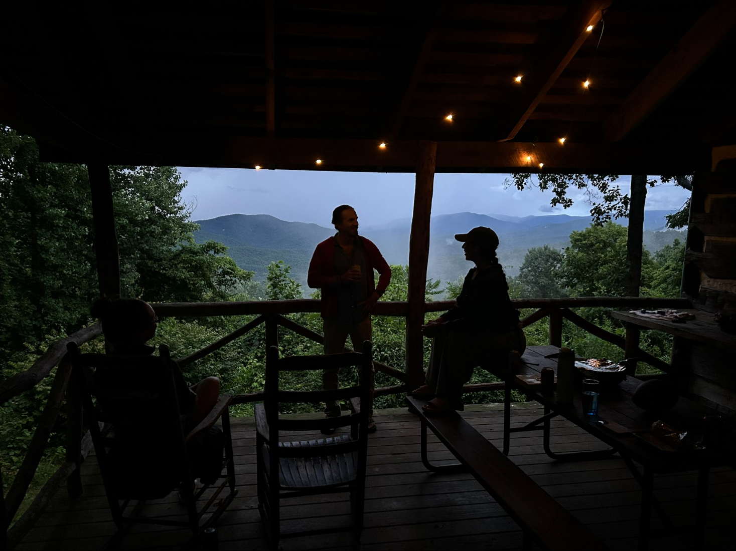
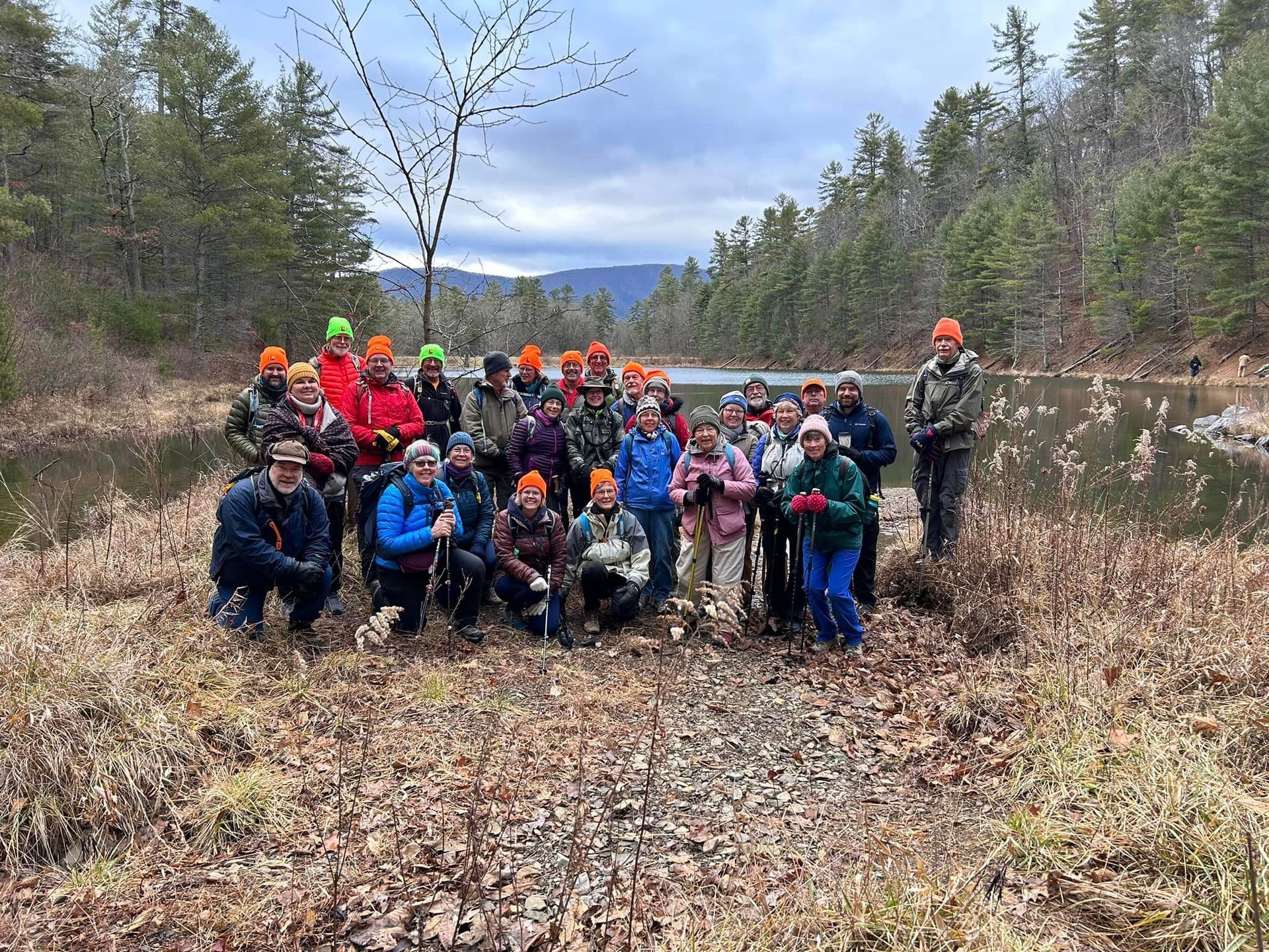
Outreach
PATC offers a variety of outreach programs for the community. Join us for a group hike or attend one of our upcoming events to learn about ways you can get involved.
Volunteer Opportunities

Upcoming Events
31
9:30am Trail Day at Sugarloaf Mountain
1
2
3
4
7pm New Member Meeting
5
6
9am North Mountain Brigade Trail Work
7
8
9
7pm Senator Kaine Book Signing
10
10:15am Easy Hike-Rockville, MD
7pm Council Meeting
11
12
13
8:15am DC Crew- Rock Creek Park Work Trip
9am Spooky Beaver Work Trip
14
15
16
8:30am Vigorous Hikers
17
18
19
20
9am ND Hoodlums Work Trip
21
9:30am Trail Day at Sugarloaf Mountain
22
23
24
25
26
27
8:15am DC Crew- Rock Creek Park Trails Work Trip
28
9:30am Trail Day at Sugarloaf Mountain
29
30
8am Vigorous Hikers
7pm ExCom April Meeting (Virtual)
1
10:15am Easy Hike: Metro North Bethesda to Metro Grosvenor Station
2
7pm New Member Meeting
3
Women's Camp, Hike, + Yoga Retreat
4
9am North Mountain Brigade Trail Work
Check out our Blog


Conservation + Land
Management
PATC currently owns 39 properties, totaling more than 2,000 acres. In addition, the club also manages several leased properties and lands containing trail and scenic easements.

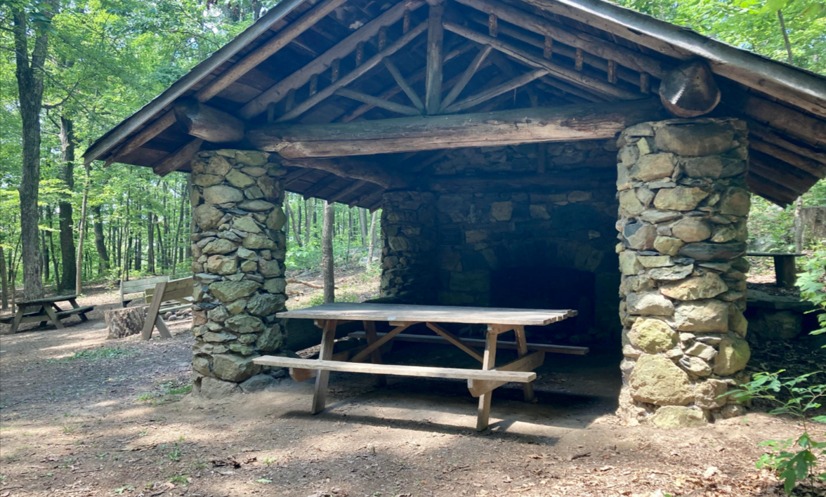
Shelters
Along the trails are a series of three-sided shelters for backpackers and thru-hikers. PATC maintains 45 Shelters along the AT, as well as the Tuscarora Trail and George Washington National Forest. PATC assigns volunteers to maintain the shelters throughout the year.

Classes + Workshops
Want to learn what to pack for a backpacking trip? Or maybe you want to add a Wilderness First Aid Certification to your resume? Check out our skills classes and workshops.

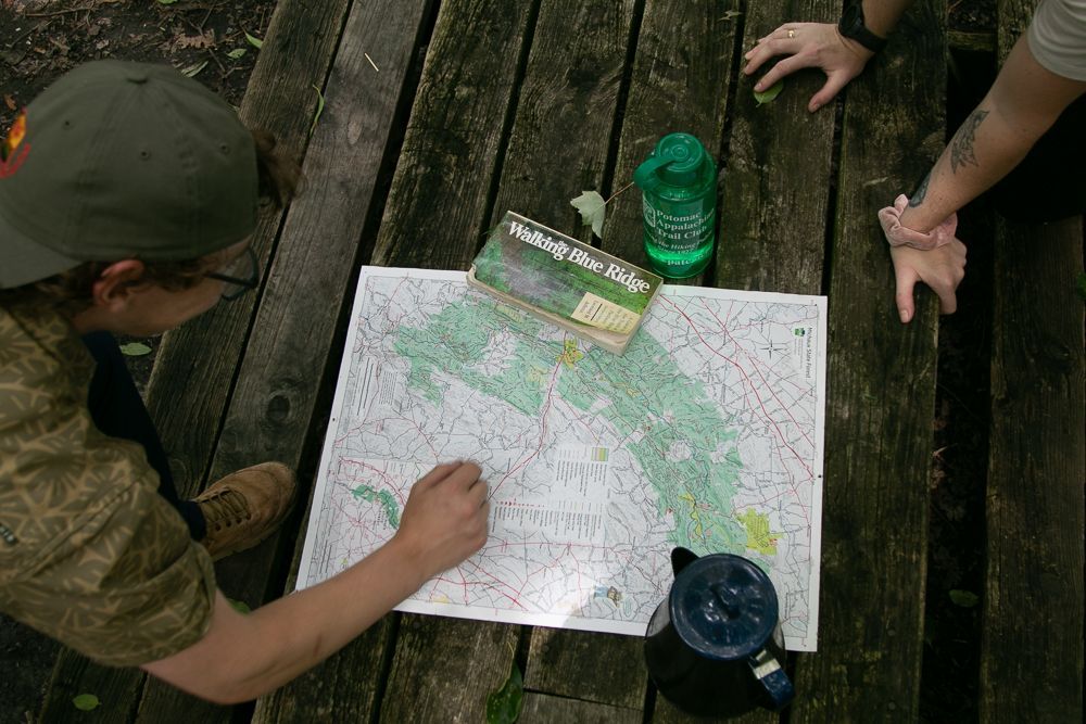
GIS + Mapping
PATC has been a proud source for mapping trails and wilderness areas for decades, including some of your favorite State and National Parks. PATC maps have become well known as the most authoritative sources for backcountry information in the region.